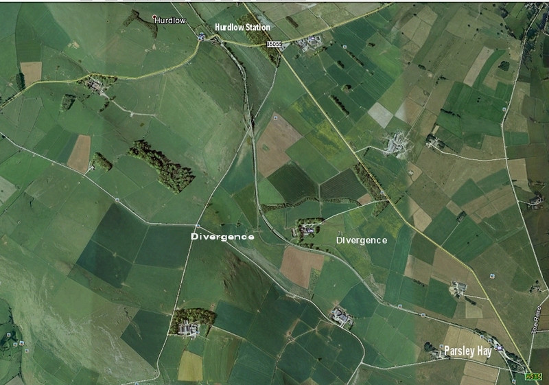
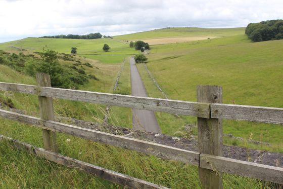
Parsley Hay to Hurdlow (Google Map) At lower center you see the divergence that was made between Parsley Hay and Hurdlow/
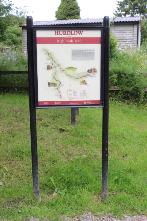
HIGH PEAK TRAIL WALKS
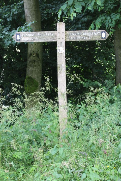
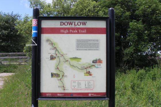
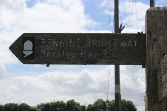
PARSLEY HAY TO DOWLOW (End of High Peak Trail).
(From a walk over the route on the 5th of July 2016.
Both the original route and the 1896 divergence now end at Dowlow. The original route took the Incline at Hurdlow, while the newer route took an easier path. North of Dowlow the original route
disappears below the quarry while the divergence route is simply cut off at Dowlow while the present day working route ends at a stop block just beyond the lane where the line stops. Both Hurdlow
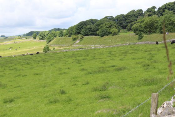
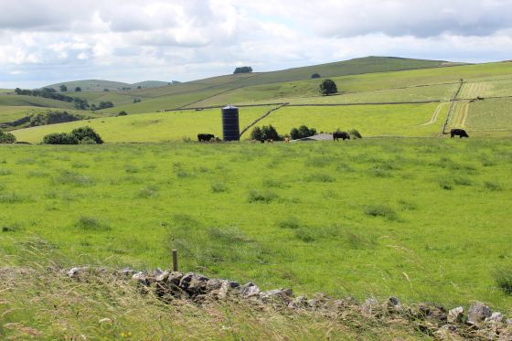
and Hindlow quarries are still very busy.
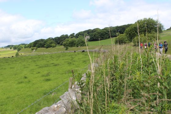
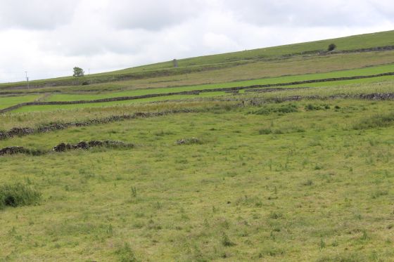
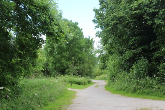
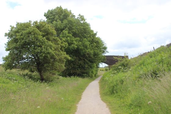
Between Parsley Hay and Hurdlow there is an other divergence from the original route, which can still be seen today. This cut out two sharp curves when they built the route from Buxton to Ashbourne.
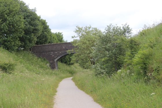
Hurdlow Incline turned sharply at the north end of Hurdlow station and wagons hauled up the incline by a static steam engine. Most of the incline is still seen but is on private land and fenced off at the
summit with sheep grazing along the site where the static engine stood. The track bed is walkable northwards but again is on private land. It then curved over a stone emabankment and to a level
crossing, which I believe was originally a bridge carrying the railway over the road. The track bed is approachable for a short distance north of the crossing but again is fenced off with Cattle grazing on
the track bed up to where the line ends at the path at Dowlow where both track beds end.
I managed the three visits to the triangle at Brierly Grange, both ends of the two track beds at Dowlow and the Hurdlow Incline north side then what turned out to be my final section to walk over, from
Parsley Hay to Dowlow by taking taxis from Buxton. Avoiding a return taxi by walking back to the road junction by the Brierlow Bar Book Store where I caught a bus back into Buxton. Using the 442
Buxton-Ashbourne bus service. Only on the Parsley Hay to Dowlow did I have to take a taxi back into Buxton. However the taxi costs were cheaper than having to have 2-3 days bed and breakfast at Buxton,
when I could not guarantee having a wasted time if the weather stopped me. With individual vists I could choose days that I knew would at least be rain free and as they turned out, with pleanty of nice
sunny periods.
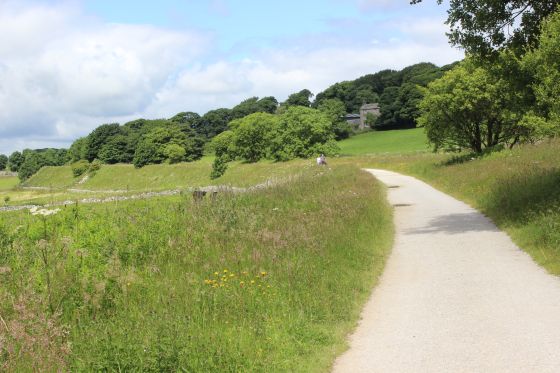
As mentioned, having covered the Parsley Hay to Dowlow section, this concluded my walks over the Cromford & High Peak Railway, or at least every part that is walkable. Some parts are completely gone
and others are on private land where you can't get permission to be on.
==========================================================
Parsley Hay to Hurdlow (Google Map) At lower center you see the divergence that was made between Parsley Hay and Hurdlow/
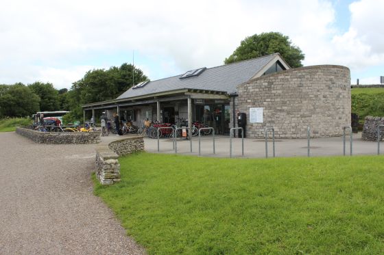
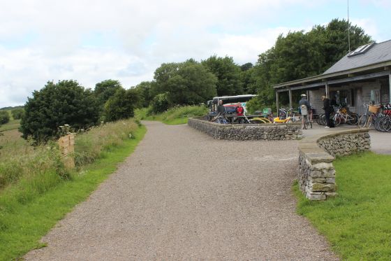
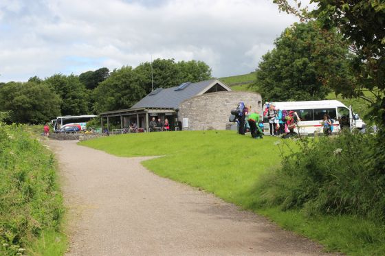
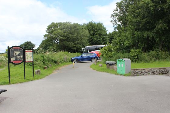
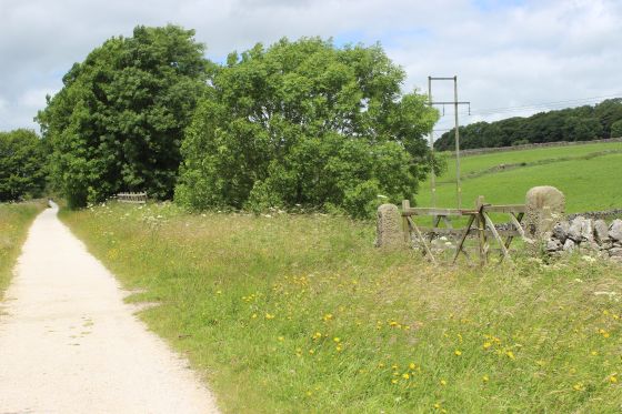
Parsley Hay Trail Bike Hire and Cafe. On the site of Parsley Hay Goods Yard. It actually stands where the original track bed ran. This curve was diverged with the present track bed that you see here.
(Looking northwards)
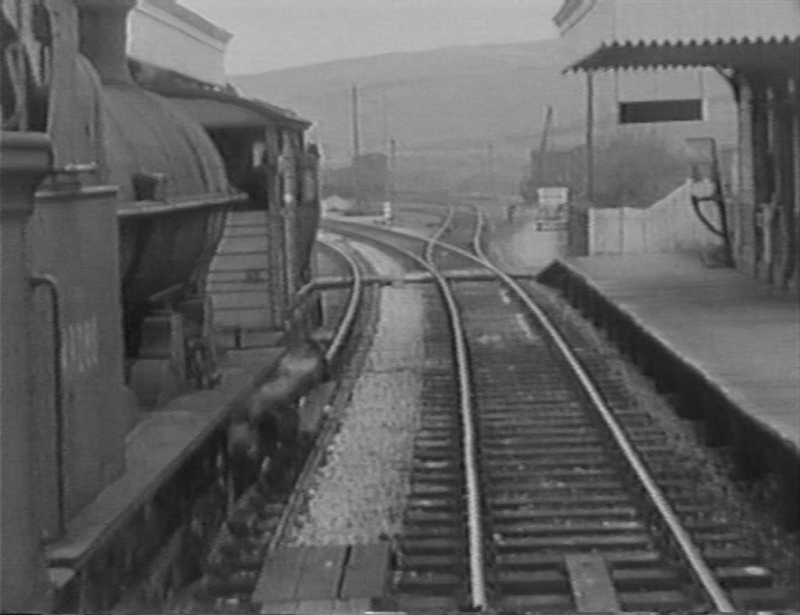
Screen grab from Cromford & High Peak Railway Video Part One. North end of the station with the sidings
where the Bike Hire & Cafe stand today (above). Author unknown.
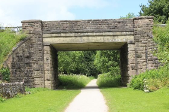
The station stood on the south side of this road bridge with the junction for the High Peak diverging to the left and the Ashbourne branch to the right (Tissington Trail).
From the country road below the track bed. The station would have been seen running along the embankment to the right. Nothing remains of the station.
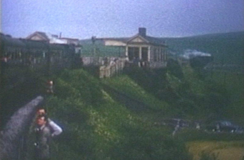
Parsley Hay station by the over bridge. (Video screen grab) The Cromford & High peak Railway Part One. A steam train is seen heading for
Ashbourne on the far right.
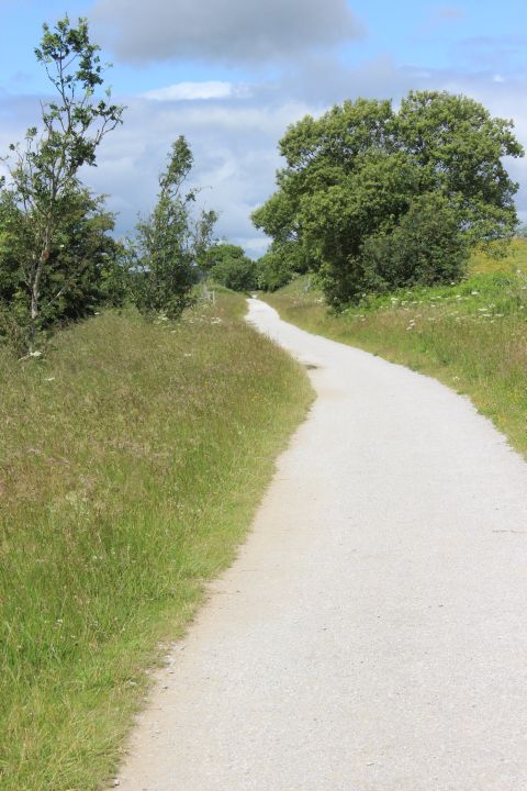
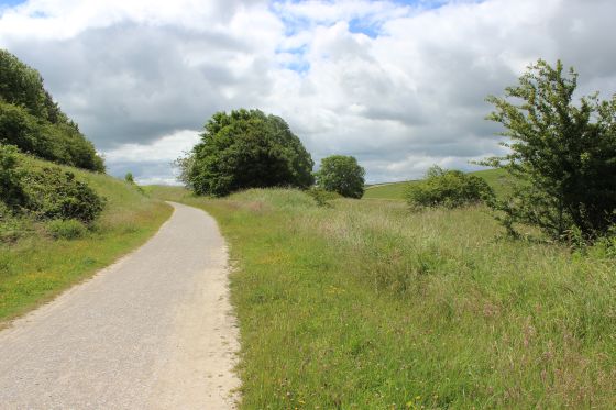
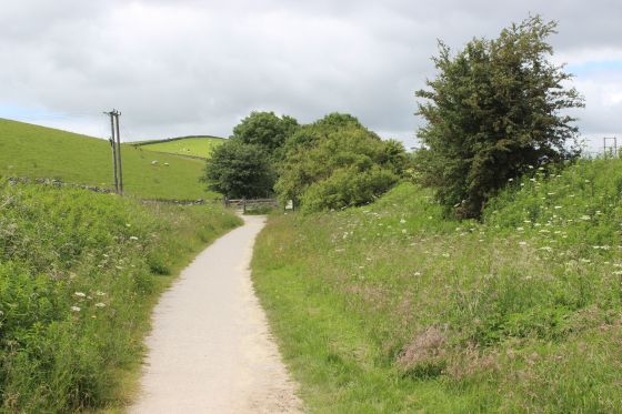
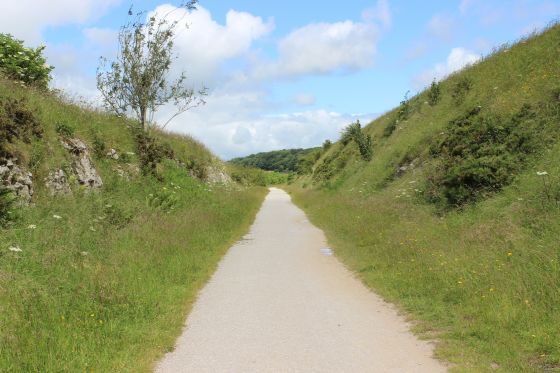
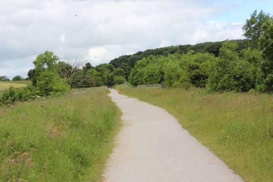
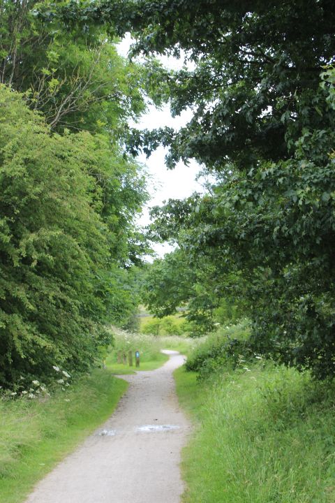
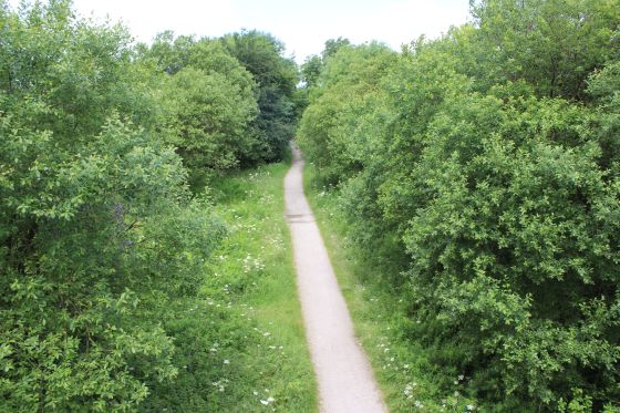
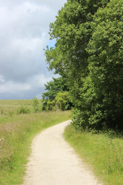
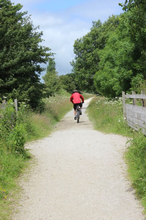
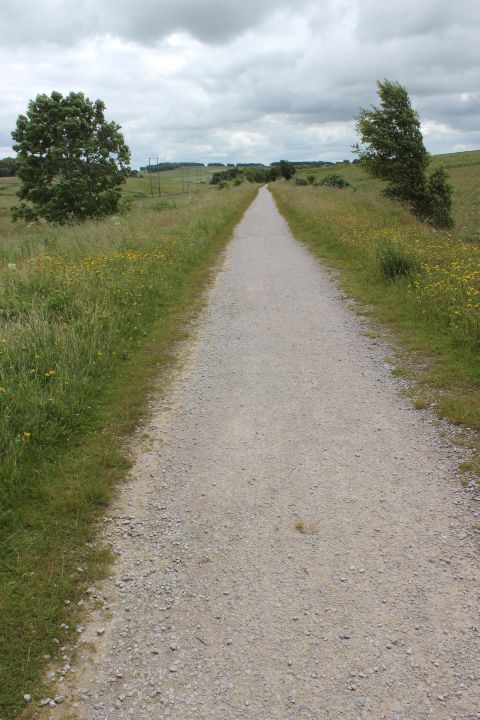
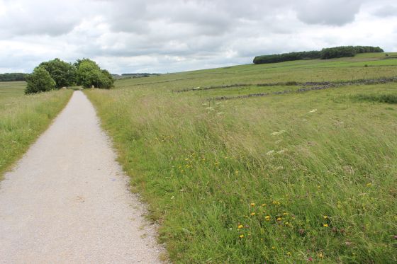
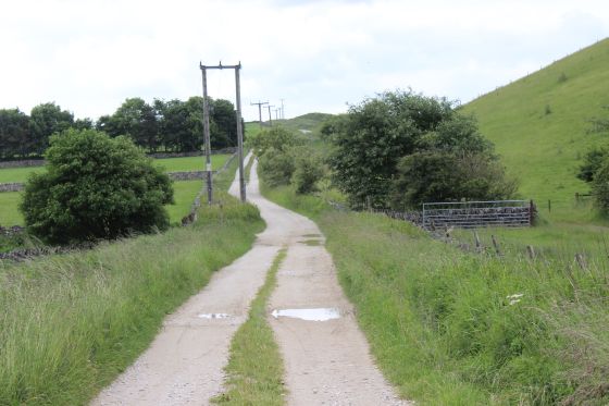
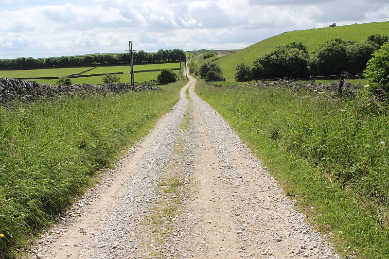
Back on the track bed, looking towards Dowlow.
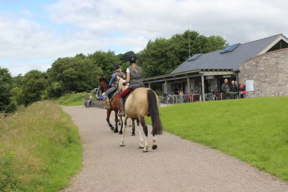
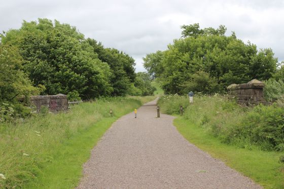
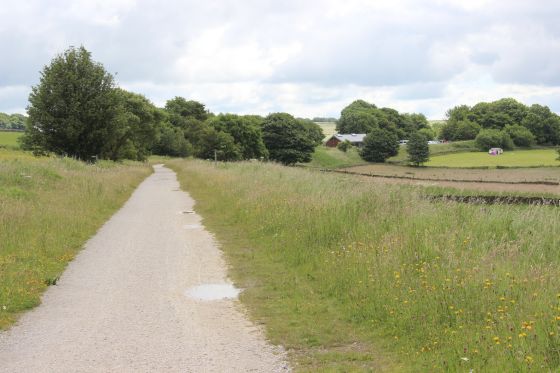
Horse riders join the trail. Right: The track bed running northwards from Parsley Hay.
 .
.
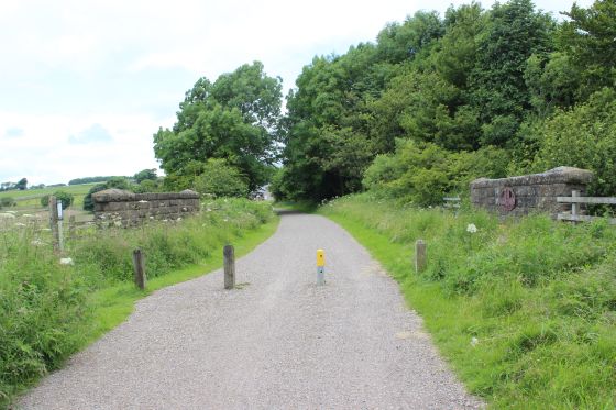
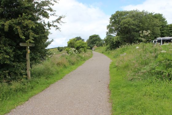
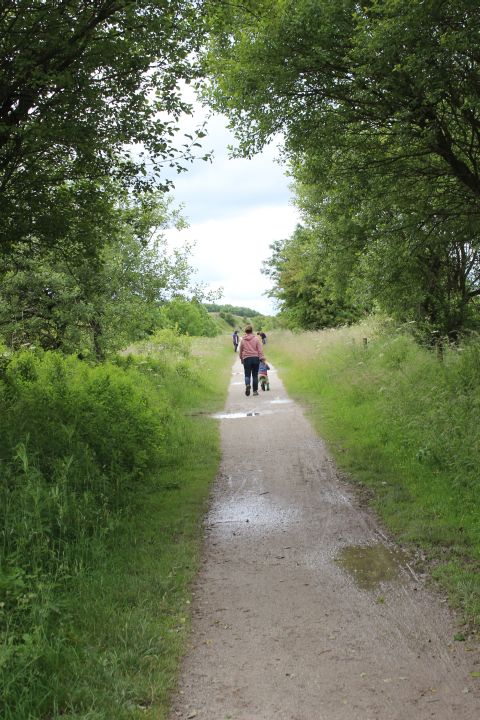
Left: Parsley Hay Goods yard site that ws once the original track bed. Right: Start of the walk northwards from Parsley Hay to Dowlow.
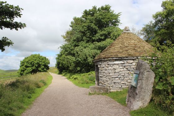
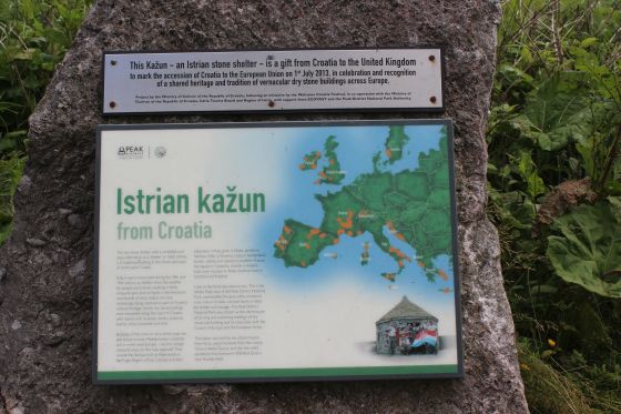
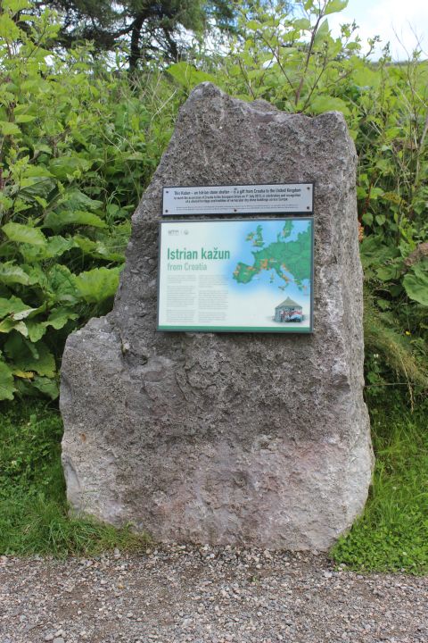
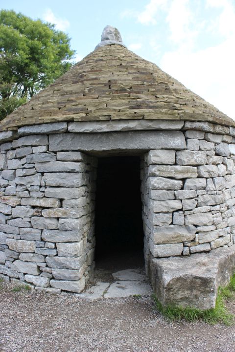
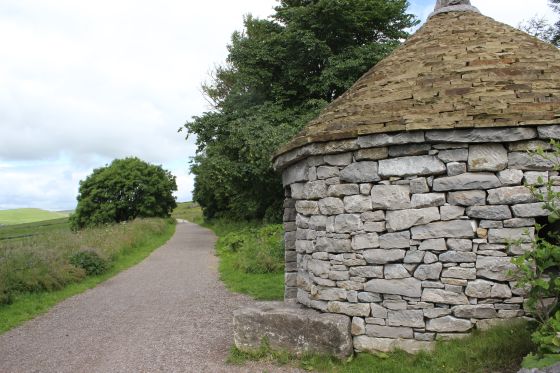
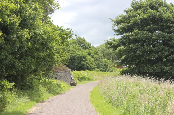
ISTRIAN KAZUN
This was a present from Croatia to mark the accession of Croatia in the European Union on 1st July 2002. In celebration and recognition of a shared
heritage and tradition of vernacular dry stone buildings across Europe.
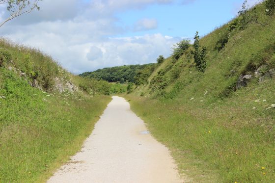
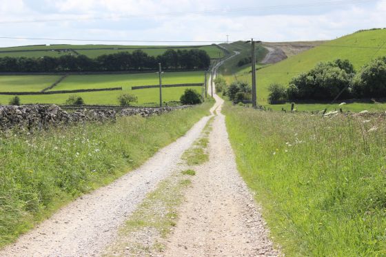
Towards Dowlow.
 g
g
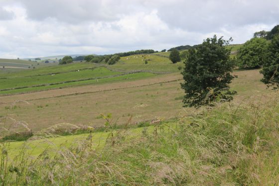
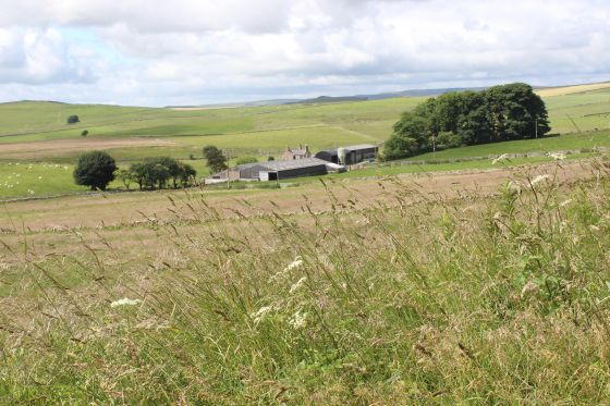
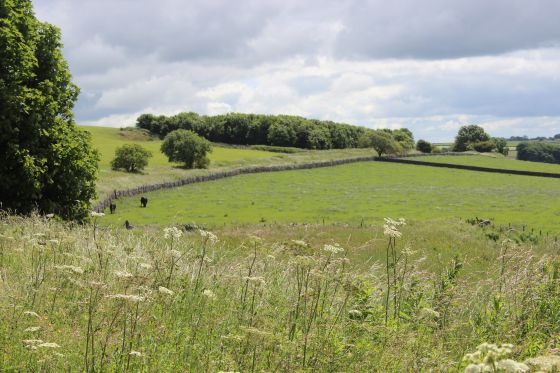
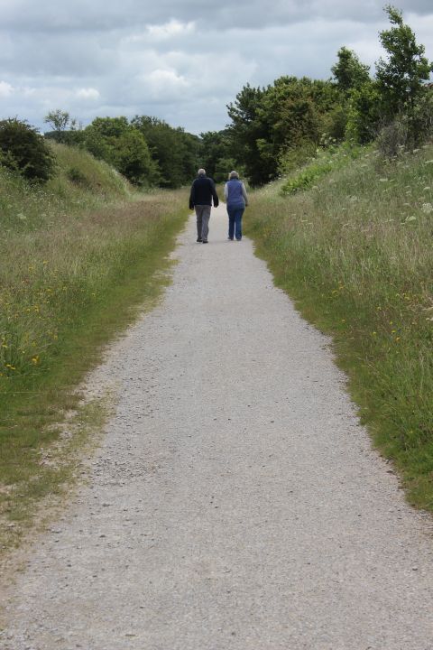
Towards Parsley Hay with a pictorial scene to the west from the track bed.
Left: Northwards. Right: Reverse view. Parsley Hay Goods Sidings Site in the distance.
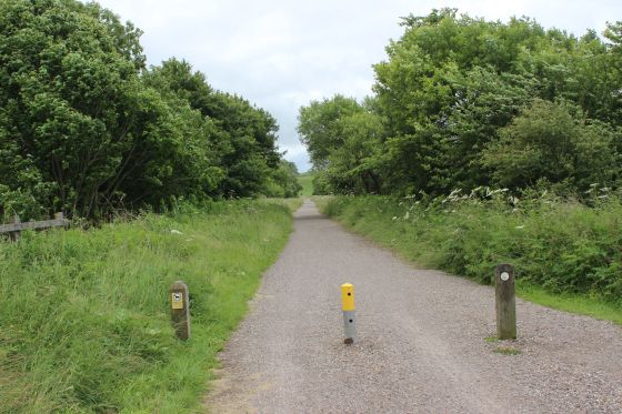
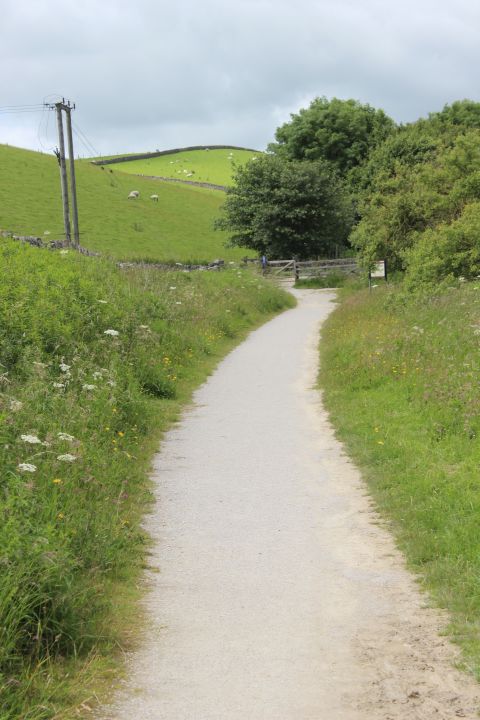
North of Parsley Hay
The railway embankment curving off to the north.
 .
.
Left: The track bed curving off towards Hurdlow. Right: The original track bed curving off towards Hudlow. On the right.
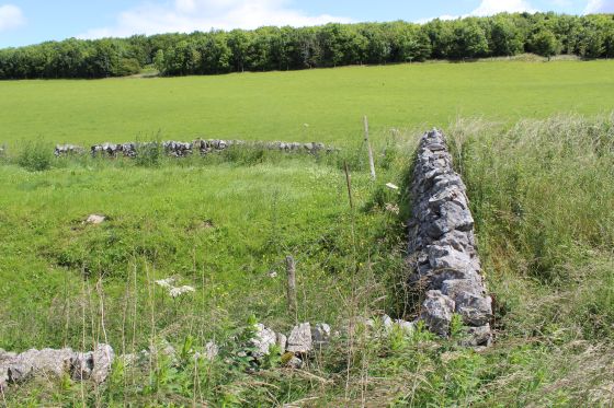
The original track bed. It is walled off at this point but you can see how it met the newer track bed. Right: Towards Parsley Hay.
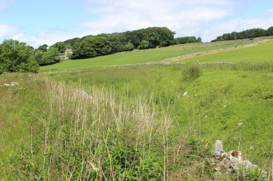
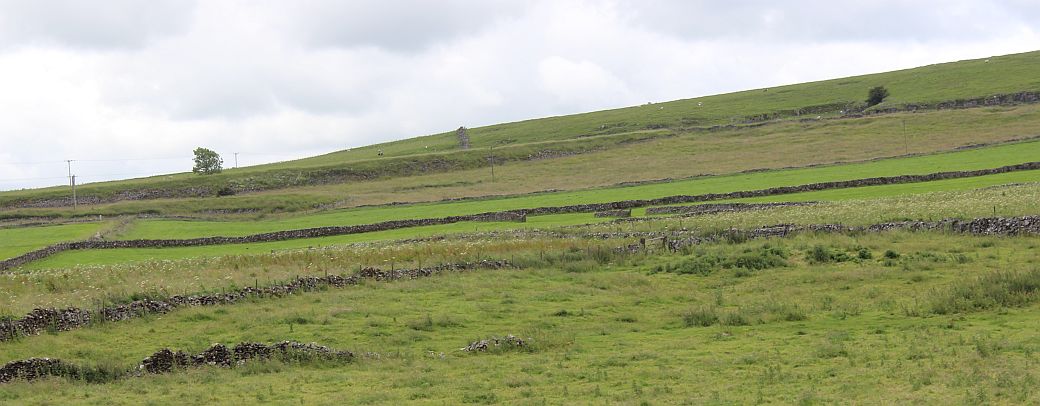
Left: Pictorial view from the west side of the track bed. Right: The original track bed running horizontally across the scene. Between the two stone dykes just below center line.

Left: A farm access road below the track bed. Right: Back towards Parsley Hay
Left: Another view westwards. Right: The original track bed runs around the west side of the present track bed.
Left: The original track bed curves westwards and across the path of the present track bed. Right: Meeting point of the two track beds (northwards).
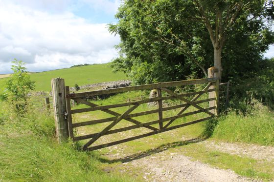
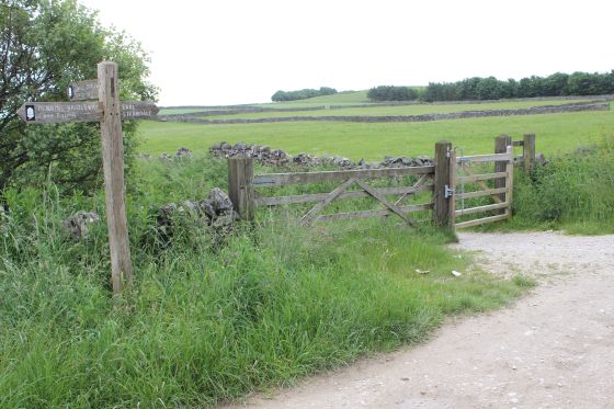
Left: A gate that takes you onto the original track bed. Right: A farm access over bridge. Northwards.
Left: Farm access bridge, towards Parsley Hay. Right: Where the original track bed came in from the left. Towards Hurdlow.
Looking southwards where the original track be runs off to the right.
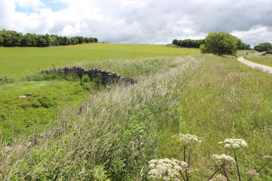
Left: Where the two track beds parted at the north end. Right: Towards Hurdlow.
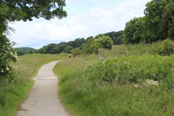
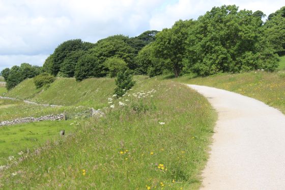
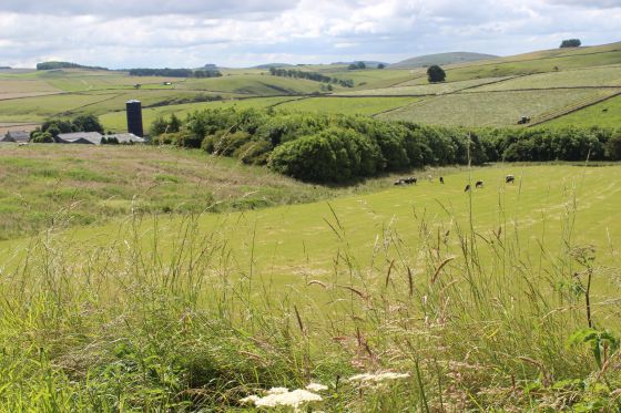
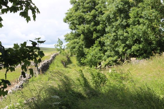
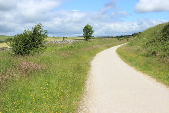
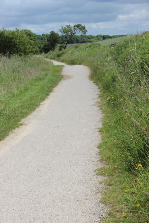
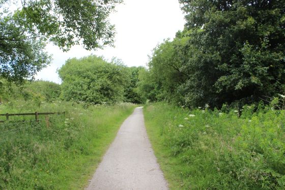
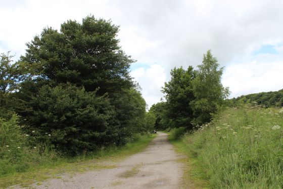
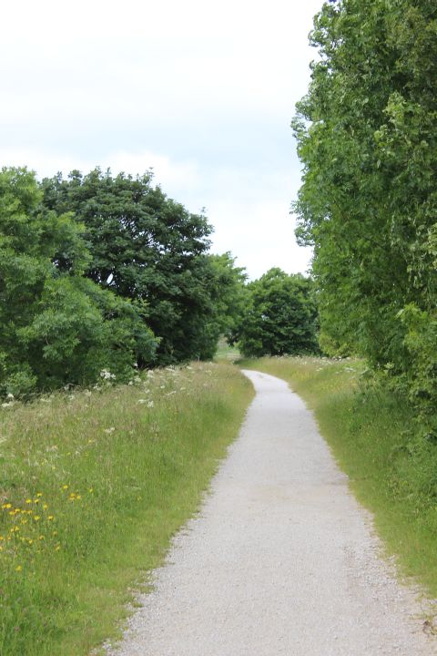
left: Scenic view to the north west. Right: A cutting to the north of Parsley Hay.
Left: The cutting, towards Hurdlow. Right: The cutting, towards Parsley Hay.
Left: Within the cutting, heading north. Right: Beyond the cutting.
Left: Looking down a farm road, heading westwards. Right: Towards Hurdlow.
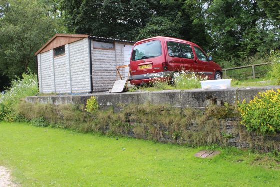
HURDLOW STATION SITE
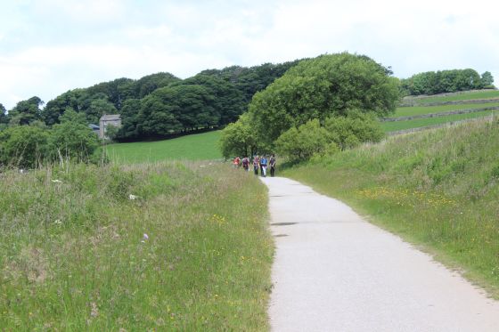
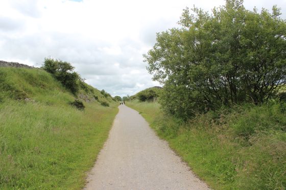
Left: This is where the double track started and went through to the north end of the station. Right: South of the station site. Two miles from Parsley Hay.
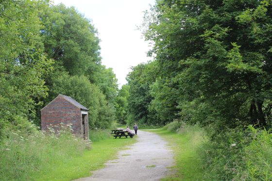
Approaching Hurdlow Station Site.
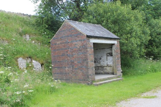
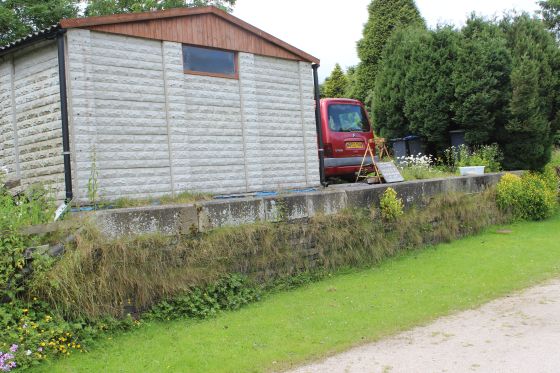
I'm not sure what this shed was for. Perhaps there was some railway work at this end of the station.
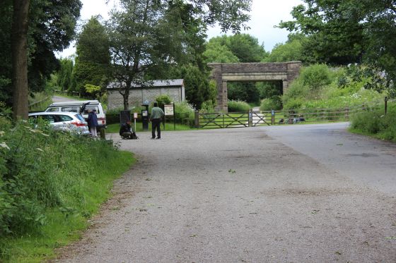
Approaching the station site.
Signs at the station site.
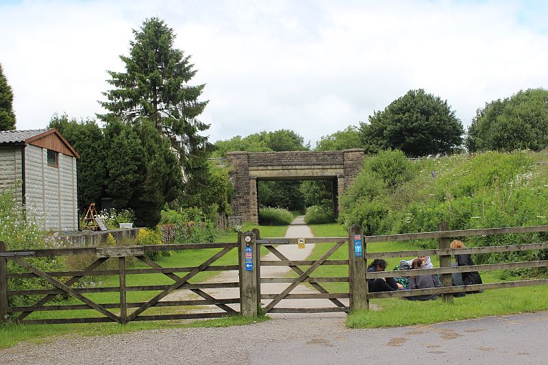
Hurdlow Station Site. The platforms ran each side, up t the face of the road bridge.
HURDLOW TO DOWLOW (Newer Track Bed)
Hurdlow station area looking from the bridge, towards Parsley Hay. The old station house is
on the right.
Right: Looking north from the over bridge. This is where the wagons were attached and detached from the engine house wire rope.
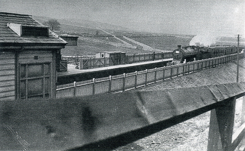
Hurdlow Station. 1931. The new track bed with the incline running up the hill between the two stone dykes. The incline was abandond in 1869.
I can understand why there is nothing remaining of the incline workings at the bottom of the incline as building the station has wiped it all away.
(Author Unknown).
From the station over bridge. The Ex Station master's House and short remains of the Down platform.
Right: The station entrance.
Left: Down platform remains. Right: The over bridge gives this a very much station site look.
Hurdlow station site. The base of the original incline railway began just beyond the bridge.
The attractive Ex station house. Right: The track bed to the north of the station obvioulsy went back to being a single line railway.
Hurdlow Incline and summit. From the newer track bed to the north of Hurdlow station site. You can just make out the hollow where the engine
house stood, to the right by the small tree. (Cropped from original).
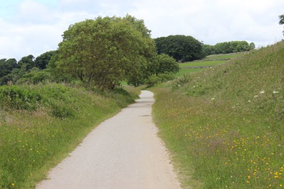
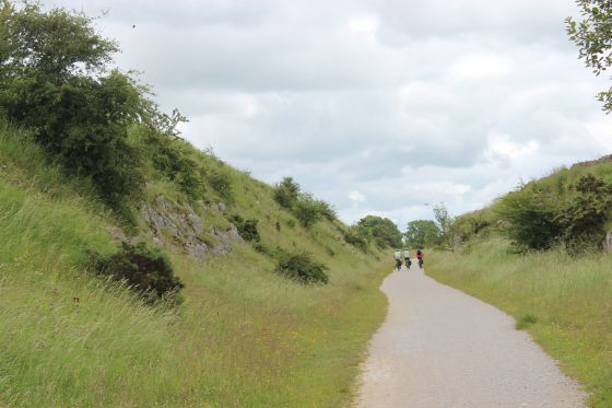
Left: Another view of the incline and summit, from the newer track bed. Right: Towards Dowlow.
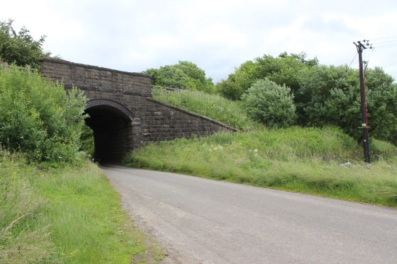
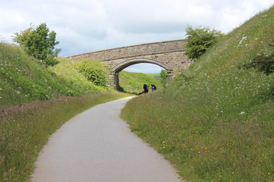
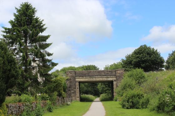
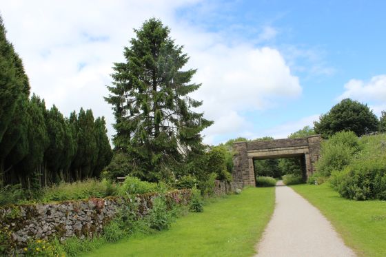
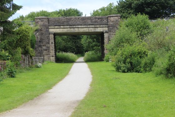
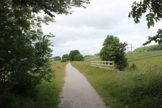
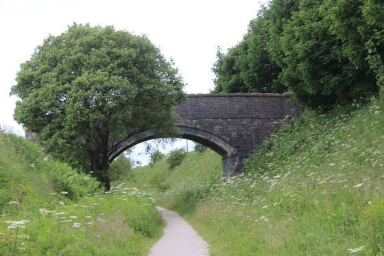
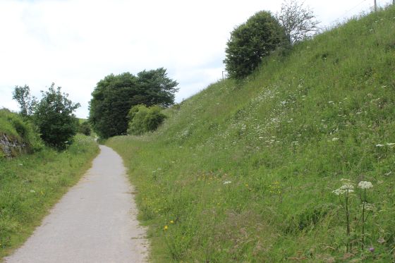
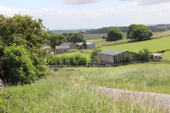
An over bridge on the south side of Pomeroy. Towards Dowlow.
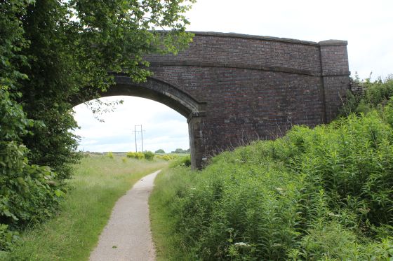
A rather empty and uninteresting section is suddenly broken up by coming up to two over bridges quite close together.
North side of the bridge towards Hudlow Station Site.
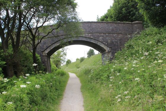
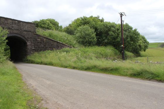
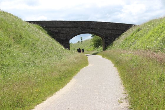
A little further on we come to another over bridge on the north side of Pomaroy. Towards Dowlow.
North side of the bridge towards Hurdlow.
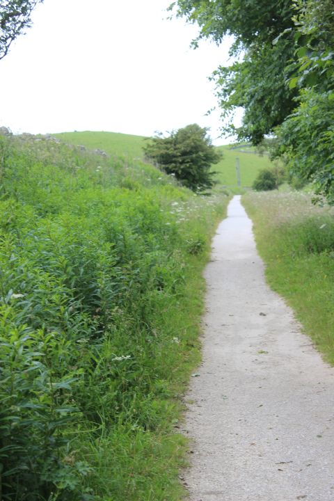
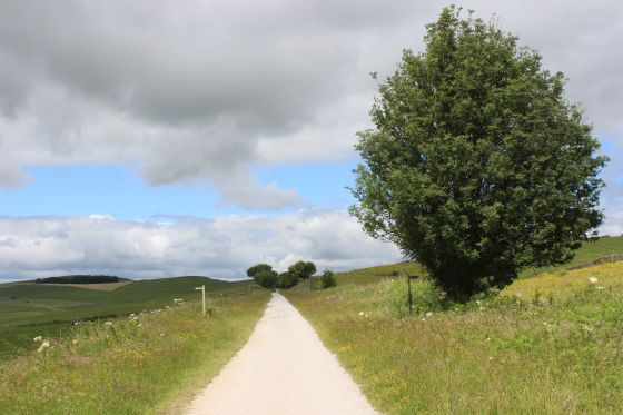
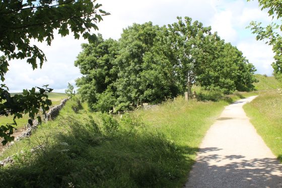
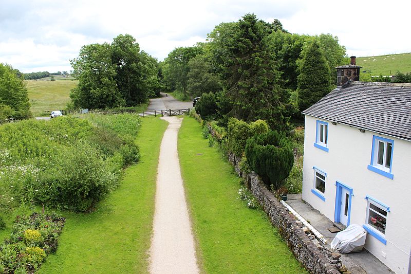
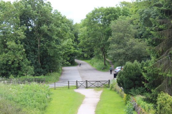
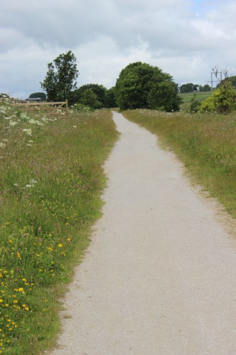
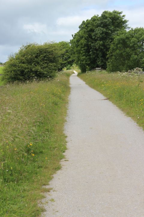
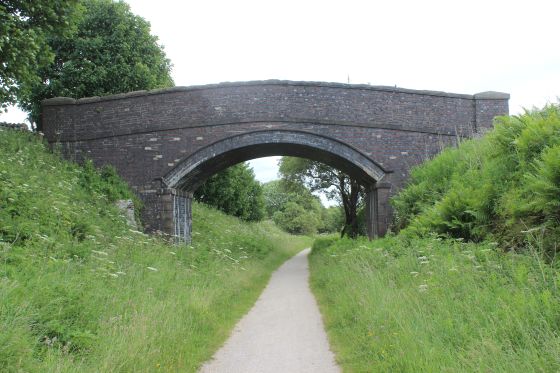
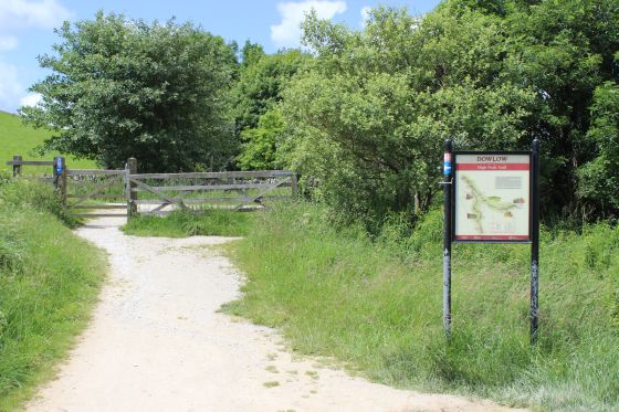
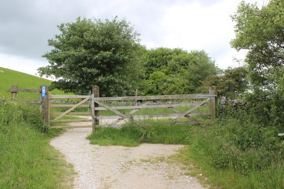
We are now approaching the end of the trail at Dowlow.
Left: Just around the corner and we reach the end of the trail. Right: Trail's end. The track bed continued northwards over the farm track. The trees ahead block your path. The stop blocks on the
working line towards Buxton is just beyond the trees.
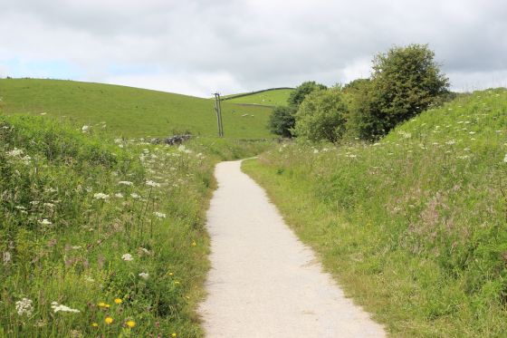
Left: End of the trail. Left: Looking back southwards towards Hurdlow.
Our conclusion at Dowlow is from photographs taken on my visit to Hurdlow Incline on the 27th June.
Left: The end of the trail at Dowlow. Right: Looking back towards Hurdlow.
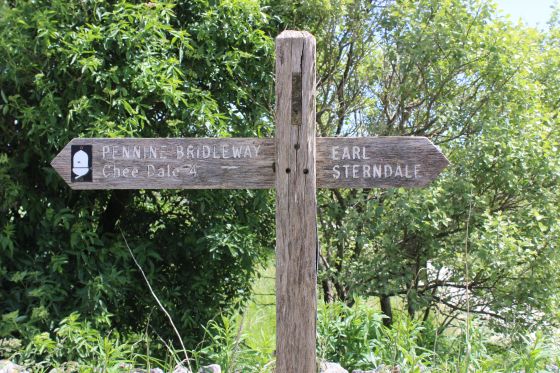
Left: The High peak Trail ends at the lane from Earl Sterndale, about a mile and a half to the west, while to the right it joins the A515 main road just south of Sterndale Moor village.
These last photos were taken on the my visit to Dowlow and the Hurdlow incline on the 27th June 2016
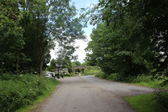
Left: The lane to Earl Sterndale where he two routes end. Both line of trees running horizontally across the scen are the two track beds. Right: The Entrance/Exit from the end of the High Peak Trail from Cromford.
Left: The end of the trail but the start for walking to Parsley Hay and beyond. Right: The tracks once crossed this lane but terminate here today. The working railway is just beyond the trees.
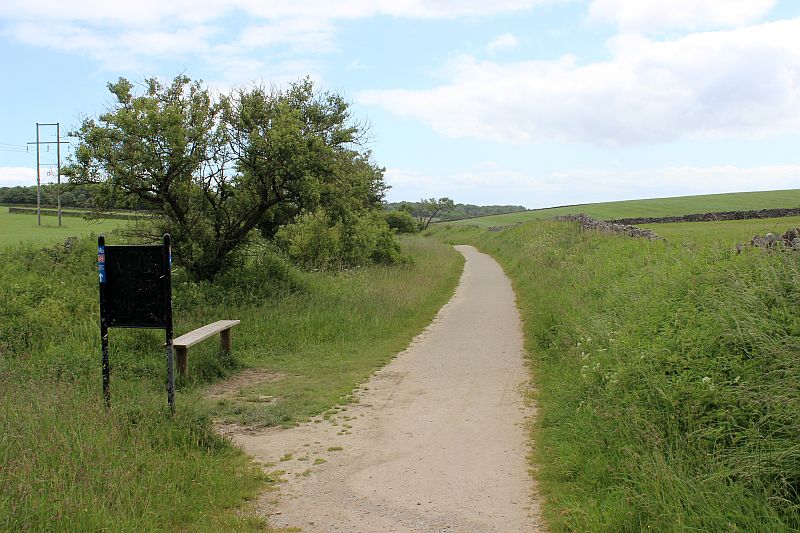
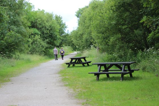
A welcome seat after a long walk. South wards to Parsley Hay.
Left: The end of the old route but the start of the present working railway between Hurdlow quarry and Buxton. The stop blocks are just beyond the trees.
Right: The stop blocks are over by the trees, with the working line heading northwards towards Buxton.
The two track beds are seen ending at the lane to Earl Sterndale. The newer track bed nearer
the foreground.
Left: The lane too and from Earl Sterndale where both the original and the newer track beds end. The original line is at the trees running horizontally across the scene in the back ground. The High Peak Trail
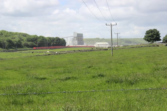
from Parsley Hay ends by the nearer tree line running across the scene. Right: From beyond the trees on the right in the photo on the left you now see the working railway at Hurdlow quarry. A train is being
shunted and made ready for it's journey towards Buxton.
=======================================================================================
The next part of the route that is walkable is to the north beyond Hindlow Quarry where the original route snaked over the present day line at Brierly Grange, where the 'Y' reversing points stood.
then back over Hindlow tunnel before heading north to Ladmanlow. This walk is found under ------------- ------
This concludes my walks over the railway, now having completed the whole route from Cromford to Whaley Bridge (34 miles). It's been an interesting and very enjoyable experience covering so many
beautiful parts of Derbyshire and finding interesting railway sites and relics. It was certainly a very unique railway. I am sure I will be back to parts of the route to enjoy more walks.
=======================================================================================
(New June 2016) HURDLOW INCLINE TO DOWLOW (Orignal Route)
===================================
My Thanks To.....
John Neave for his kind permission to use a number of his 1960's photographs when the railway was still in operation. Check out John's ''Going Loco'', which includes a C&HPR history. At....
http://goingloco.neave.com/
Mark Norton for the use of 1940's photos by his late father Dennis J. D. Norton. http://www.photobydjnorton.com/CHPR_Menu.html#Links
Reading: The Cromford & High Peak Railiway by John Marshall. Published by Martin Bairstow. Printed by The Amedeus Press 2011.
The Cromford & High Peak Railway by Alan Rimmer.
Other Railway Walks....
The Dundee & Newtyle Railway The first passenger railway in Scotland opened in 1831, which had three inclines operated by stationary steam engines. The main source of income was from
the numerous stone quarries in the area and local farming produce. Passenger numbers were always sparse.
The inclines were abandoned in the mid 1800's by new deviations that allowed through locomotive running.
The line also included the Dundee Law (Hill) tunnel built at 300ft above the City. Both the north & south portals of the tunnel are buried below modern housing schemes.
Passenger services ended in 1955 and the line closed completely in the mid 60's.
Unlike the C&HPR none of the Engine houses were preserved. The inclines can still be followed but sections have been back-filled or ploughed over.
This web site tries to cover as much as possible.
Boddam To Ellon Branchline Built by the GNSR in the latter part of the 20th century. The passenger service only lasted until 1934 but goods remained up to total closure in 1949.
The GNSR built a large Golf course and Hotel at Cruden Bay, with an electric tramway between the station and hotel. All that remains today is the Golf course.
Dyce To Fraserburgh and Peterhead Walks. Walking the whole of the 50 odd miles of the Ex GNSR branch from Dyce Jctn to Fraserburgh and Peterhead, via Ellon and Maud
Junction that closed between 1967 and the latter 70's. I worked over the routes as a secondman at Kittybrewster Loco Depot in the 60's
and enjoyed seeing the route and old stations that are still to be seen.
Other web pages....
Kittybrewster Memories. Kittybrewster Loco Depot, Aberdeen.
Tivoli Memories The Tivoli Theatre, Aberdeen.
Hosted by www.theatreorgans.com